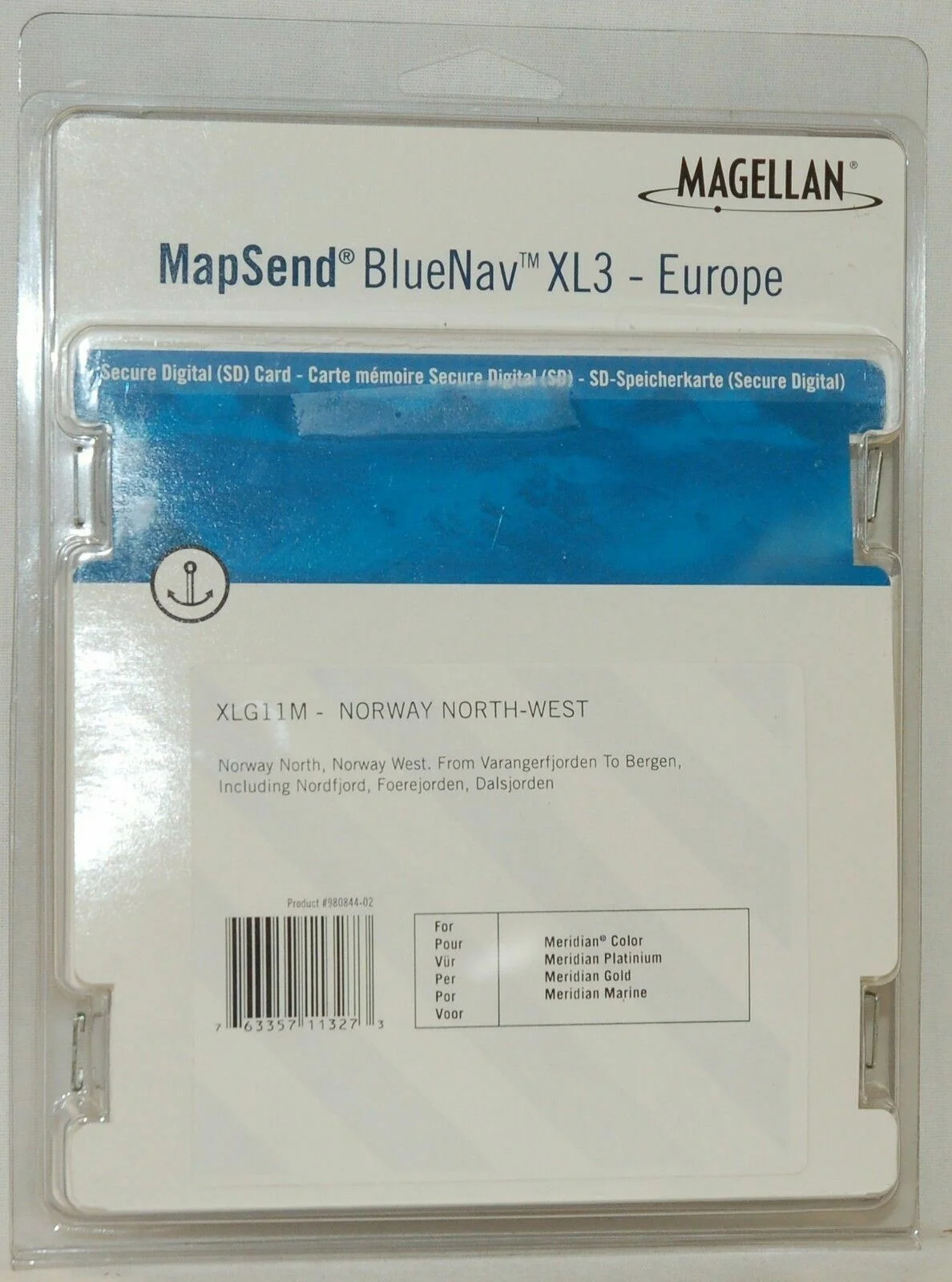
NEW Magellan MapSend BlueNav Europe Maps XL3 SOUTH BALTIC SD Card Meridian Gold
USD $18.00
- Condition:
- New
- Shipping:
- Free Shipping
- SKU:
- 980844-02
- Categories:
- Consumer Electronics / Vehicle Electronics & GPS / GPS Accessories & Tracking / GPS Software & Maps


Price alert
Notify me when the price drops
Description
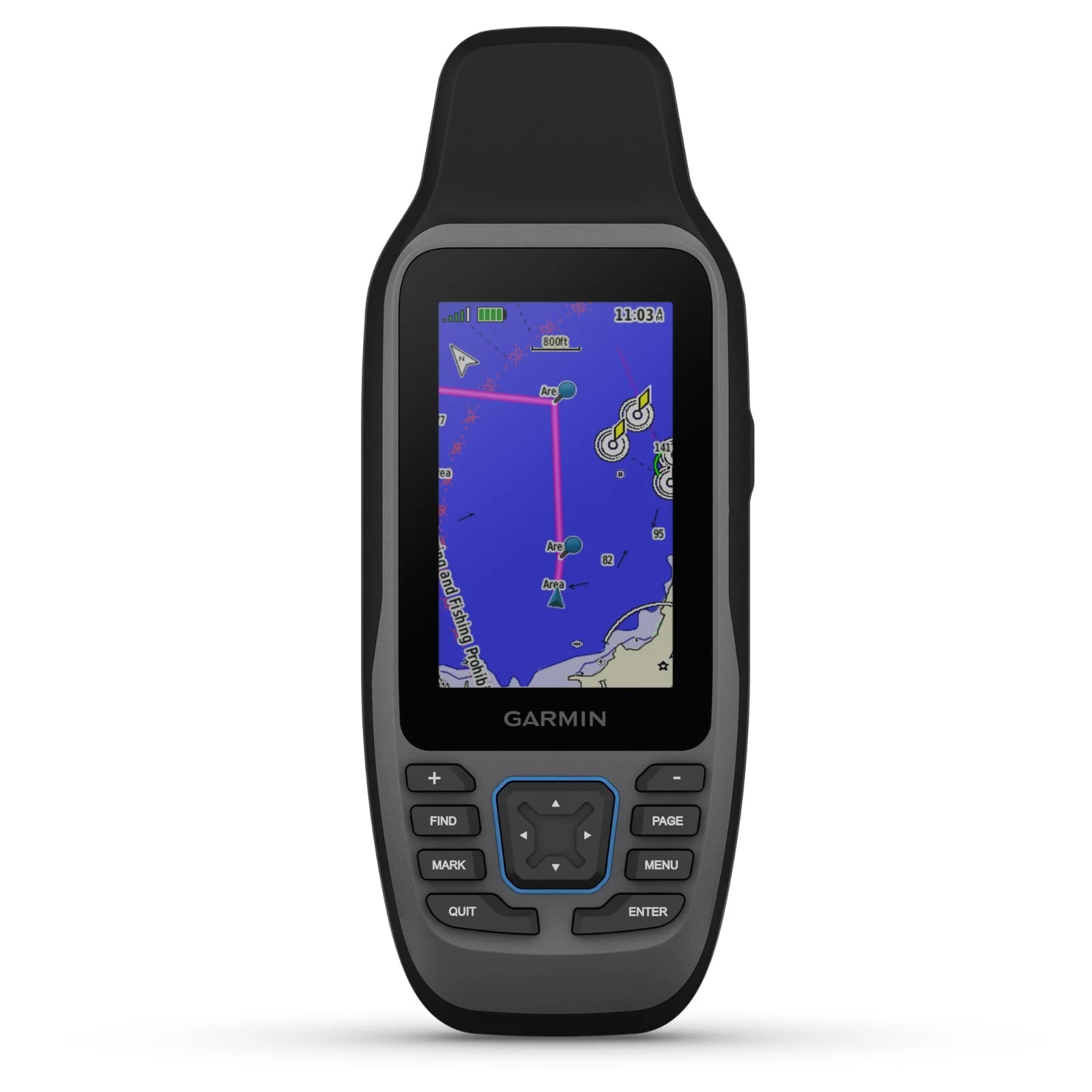
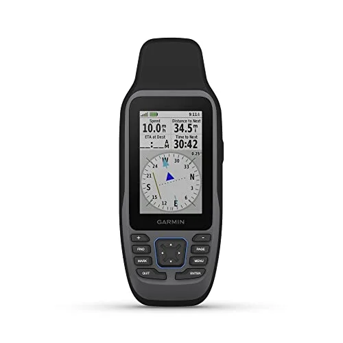
[.6] here we have a magellan mapsend bluenav xl3 europe - pre-loaded maps sd card. you will receive the following: (if its not listed here its not included!) pre-loaded sd card original retail packaging product details: extra-large charts let you see your current position in relation to navaids, channels, moorings and a variety of underwater structures based on highly respected navionics gold charts, bluenav provides information about tides and currents, depth contours, navaids, port services and more simply insert the sd card (pre-loaded with ready-to-use cartography) and instantly expand the capability of your sd card-compatible magellan gps receiver for use with the expandable magellan meridian color, platinum, gold and marine gps units detailed maps on pre-programmed secure digital cards help enhance your journey through europe designed to be used with the expandable magellan meridian series, the mapsend bluenav xl3 charts can enhance the enjoyment and safety of your maritime journey through europe. these easy-to-use, extra-large, pre-programmed marine charts on secure digital cards give you extremely valuable navigation information that will save you time and worry. based on highly respected navionics gold charts, bluenav provides information about tides and currents, depth contours, port services and more. the magellan mapsend bluenav xl3 charts are exceptionally easy to use; there's no need to download anything from your computer. simply insert the sd card (pre-loaded with ready-to-use cartography) and instantly expand the capability of your sd card-compatible magellan gps receiver. select the mapsend bluenav xl3 charts for the regions you plan to visit and easily navigate every boating adventure. thanks to magellan mapsend bluenav xl3 charts, you'll be able to clearly see your current position in relation to navaids, channels, moorings and a variety of underwater structures such as wrecks, cables, pilings and obstructions. for added convenience, you'll also be able to navigate and pull into port with a wealth of knowledge about the available services in the area you're visiting. contains maps for the following regions: norway north norway west varangerfjorden to bergen nordfjord foerejorden dalsjorden country kits: europe - xlg11m manufacturer: magellan compatible models: meridian color meridian platinum meridian gold meridian marine gps product line: magellan mapsend gps software - product # 980844-02
Market history
Price Tracking
Related picks